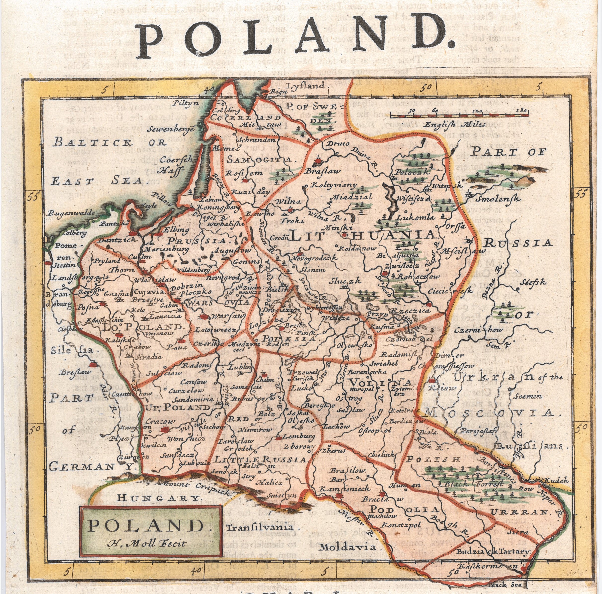
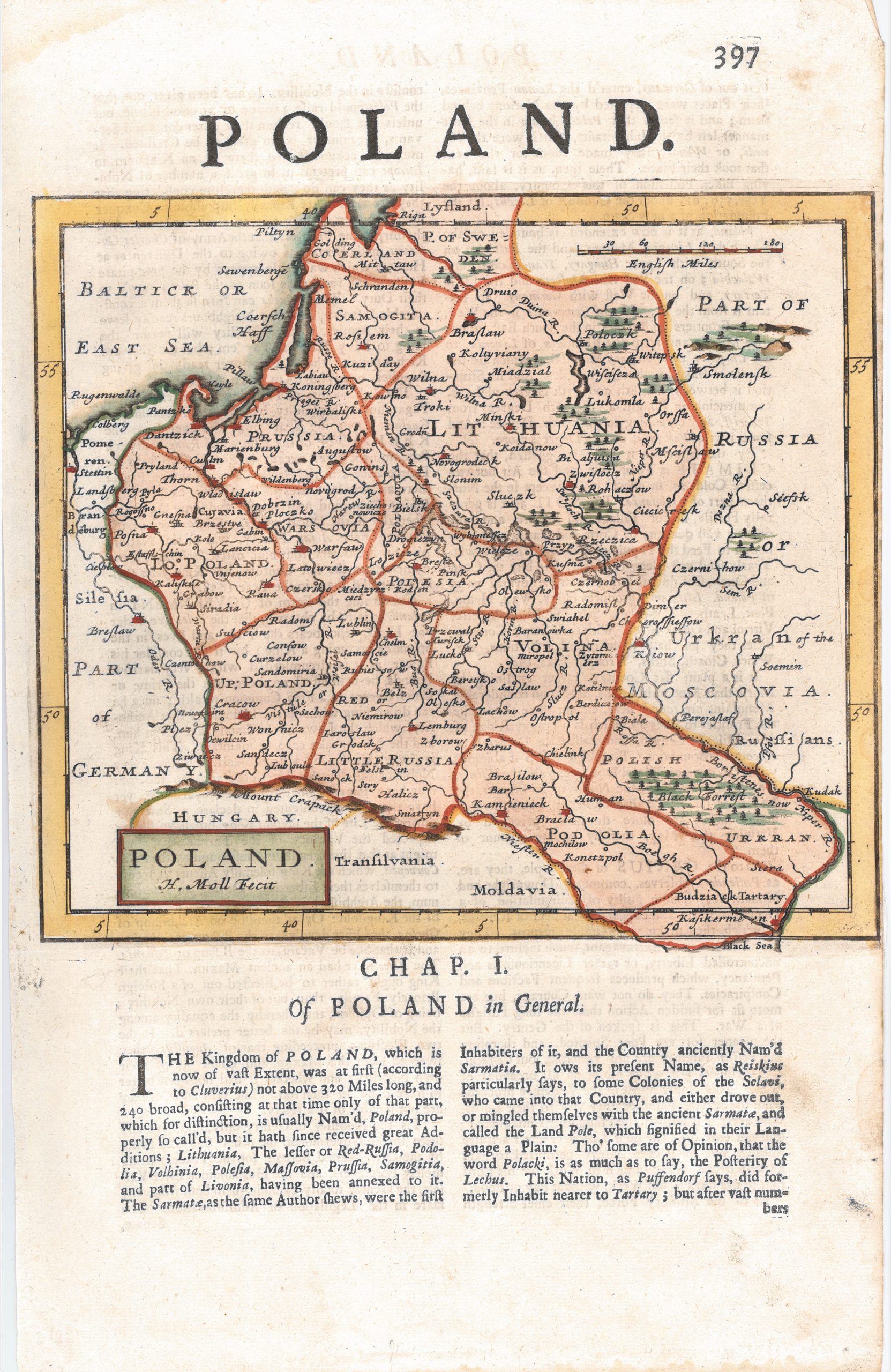
1709 H. Moll „Poland”
Herman Moll (1655-1732)
ATR žemėlapis 1709 m.
Londonas
20 x 18,5 cm.
ID: 2400
Kategorija: 1700-1720 > Abiejų Tautų Respublika > Didžioji Britanija > Maži > Moll, Herman
Iš „The Compleat geographer, or, The chorography and topography of all the known parts of the earth to which is premis’d an introduction to geography, and a natural history of the earth and the elements … to which are added maps of every country, fairly engraven on copper, according to the latest surveys, and newest discoveries, most engrav’d by Herman Moll ”
London, Printed for Awnsham and John Churchill … and Timothy Childe, 1709
You may also like…
-
![]()
1709 H. Moll „Poland”
Herman Moll (1655-1732) ATR žemėlapis...
-
![]()
1727 H. Moll „Poland …”
Herman Moll (1654–1732) ATR žemėlapis ...
-
![]()
1784 H. Moll „Poland …”
Herman Moll (1654–1732) ATR žemėlapis ...
-
![]()
1784 H. Moll „Poland …”
Herman Moll (1654–1732) ATR žemėlapis ...
-
![]()
1734 H. Moll „Poland …”
Herman Moll (1654–1732) ATR žemėlapis ...
-
![]()
1736 H. Moll „Poland …”
Herman Moll (1654–1732) ATR žemėlapis ...
-
![]()
1734 H. Moll „Poland …”
Herman Moll (1654–1732) ATR žemėlapis ...
-
![]()
1695 H. Moll „The Kingdom of Poland…” 3
Herman Moll (1655-1732) Daniel de...
-
![]()
1723 H. Moll „Poland”
Herman Moll (1655-1732) ATR žemėlapis...


